Opportunity map Alblasserwaard
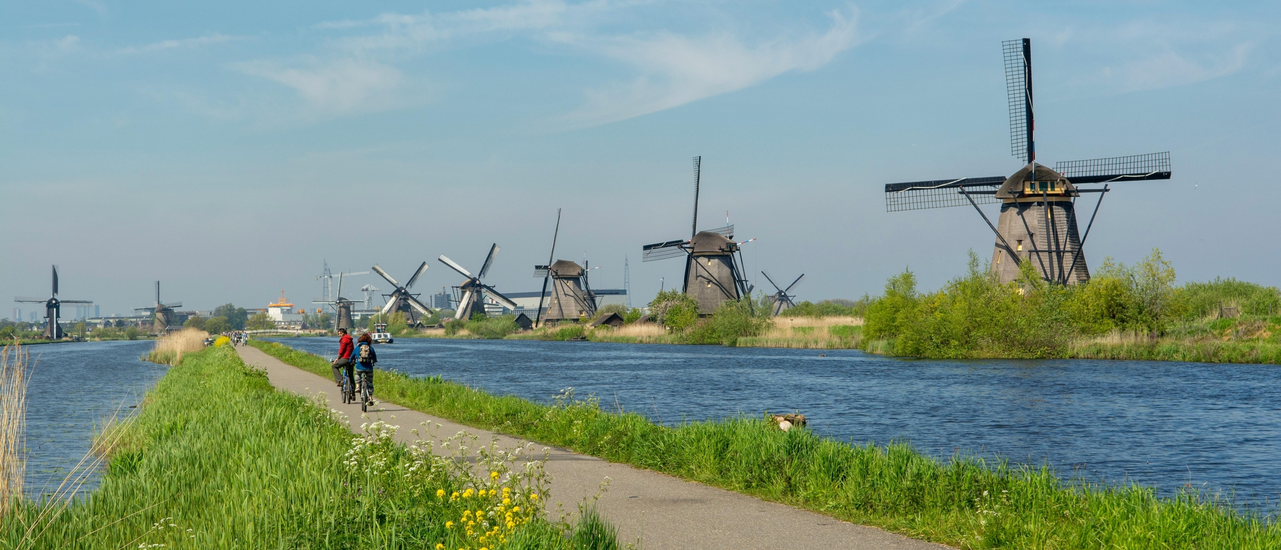
Commissioned by the Province of South Holland and working closely with local stakeholders, we are creating an opportunity map about the area around the Kinderdijk World Heritage Site.
Read moreWith a comprehensive study captured in a series of maps, BLOC provides insight into how the attraction value of Kinderdijk can lead to a strengthening of the liveability of the surrounding area. The World Heritage Site attracts hundreds of thousands of visitors every year and this will continue to grow significantly. This offers opportunities, for instance, to add facilities in the area that are also relevant to the local community. However, it is crucial to understand what those facilities could be, and what is relevant for those visitors. That is why we talked to many stakeholders and used storylines to clarify what is left to do in the area. In this way, we can entice visitors to add value to the entire area – the Alblasserwaard – and provide a basis for a conversation about smart interventions to strengthen liveability. Again, this ties in seamlessly with our research on visitor management.
A world heritage site that wants and needs to leverage its growing visitor numbers into liveability for the surrounding area
Many heritage sites have an intense relationship with their surroundings. The special place gives local residents and local entrepreneurs their identity and they are proud to show it off. On the other hand, peaks in visitors can lead to nuisance, through noise and wrongly parked cars, for example. It is therefore important to let visitor flows lead to broad value development so that many people benefit. The World Heritage Site of Kinderdijk also faces this challenge. Partly due to rising international visits to the Netherlands and the – partly due to us – improved access by water (Waterbus and river cruise market), more and more people are coming to enjoy this place and the underlying story of water management. The Province of South Holland, the Water Board and the Molenlanden and Alblasserdam municipalities would like to see this rising popularity lead to, for example, a strengthening of facilities in the area. And that there will be a basis for making appropriate interventions to properly facilitate visitor flows. But how do you get insight into the linking opportunities and possible interventions?

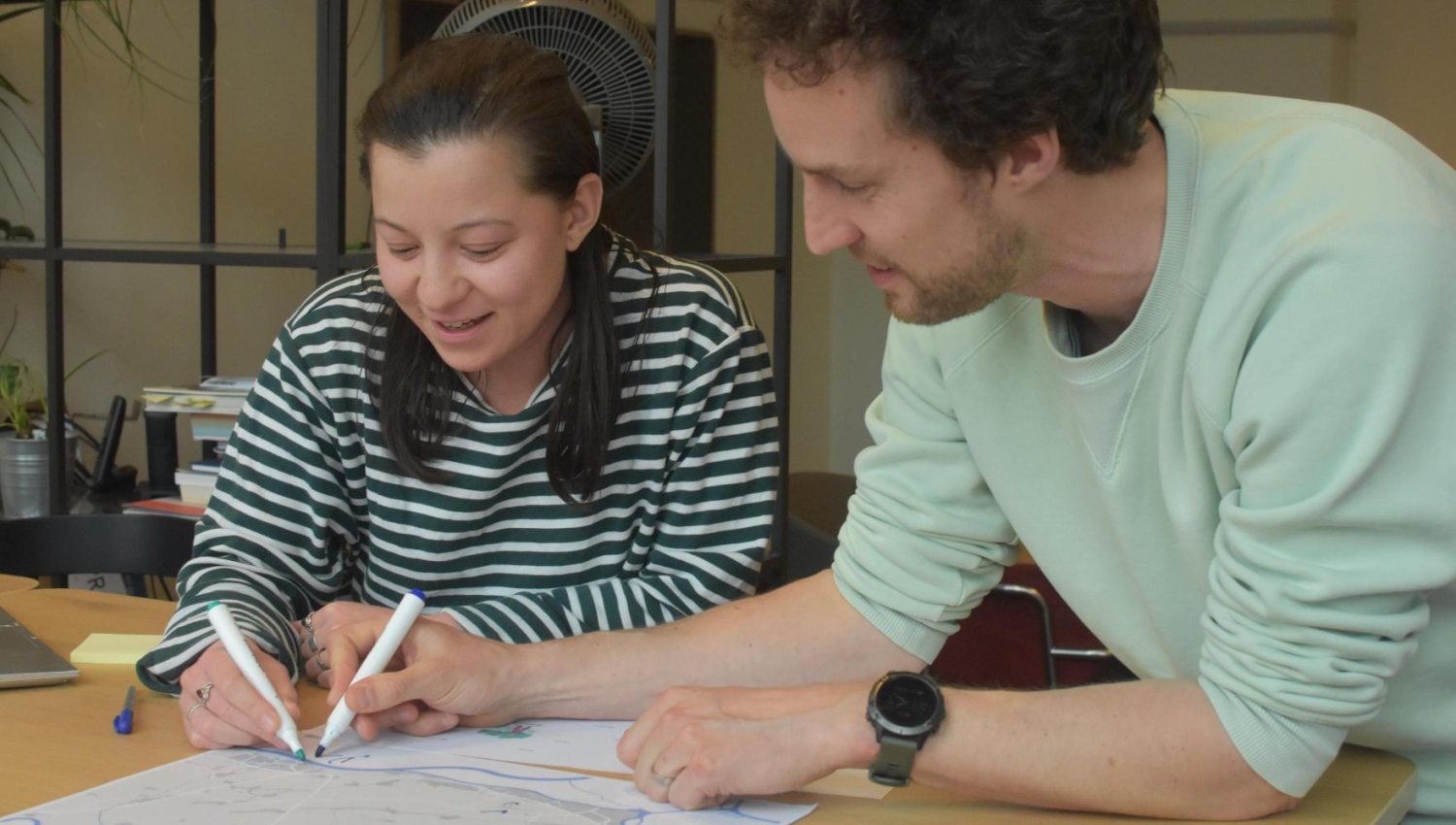
A thorough study translated into attractive maps to make opportunities and possible interventions understandable and discussable
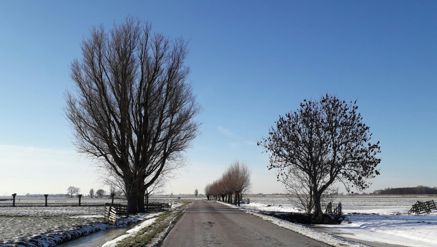
So we talked to relevant local (tourism and recreation) entrepreneurs, policy officers and historical associations. What are the special places here that people should also see? What are logical routes to tell the stories of this special polder? What are facilities that could use some extra visitors?
We elaborated all this knowledge in three storylines that are closely linked to existing policy documents of, for example, the SWEK and the municipality of Molenlanden: (1) People and the Water; (2) Hidden Stories; and (3) Green Lungs. These are developed into routes that people can cycle, walk or even sometimes experience by canoe. Along the way, people are provided with information and guided past entrepreneurs and facilities (for example organic cheese farms, care functions and fortresses).
In turn, this set of maps is the basis for our advice to intervene in the immediate vicinity of the heritage site to reduce nuisance and entice visitors to stay longer and contribute to the environment.

Want to know more about this project or also a spatial question? Contact Ruben!

Ruben Lentz
- ruben@bloc.nl
- +31 6 55177628
